Carlo Delfino Editore
-
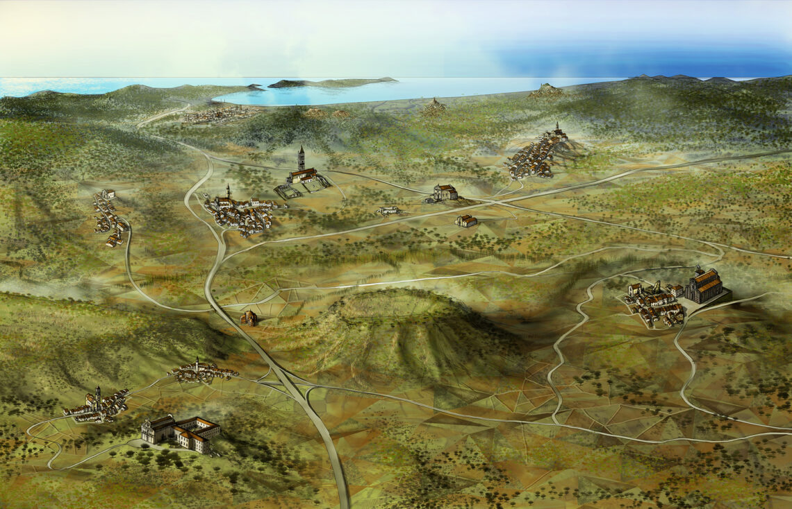
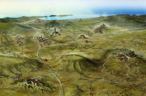
Map of Logudoro territory, Sardinia, Italy
Map of the historical subregion of Logudoro, for Carlo Delfino Editore. The region is named after the Logudoro kingdom, one of the four independent kingdoms which ruled over Sardinia in the middle age. In this area is particularly dense the presence of Romanesque churches, now isolated in the countryside, once belonging to fortified cloisters or to disappeared settlements.
-
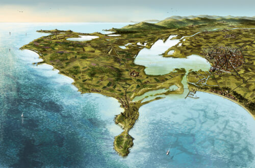
Map of the Sinis territory, Sardinia, Italy
Bird’s eye view over the subregion of Sinis, for Carlo Delfino Editore. The zone has an overwhelming richness of neolithic, megalithic, punic and roman settlements, being an important trade- exchange hub for people coming from the sea and from the mountain. Notable are the site of abandoned city of Tharros, the archeological site of Monti Prama’s Giants, without mentioning the crystalline beaches toward the Sardinian sea.
-
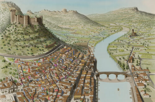
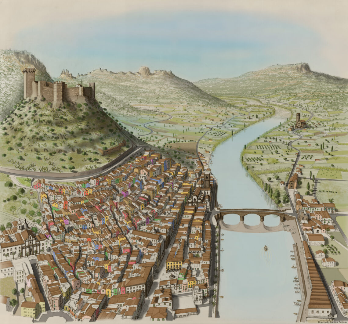
Royal Citadel of Bosa, Sardinia
Aerial perspective map of the historic centre of Bosa, for Carlo Delfino Editore.
Bosa was originated by the phoenician-roman city of Calmedia whose remains are on the other side of the river Temo, nearby the church of San Pietro. The medieval current historical city lays sheltered under the walls of the castle built for the Malaspina dinasty.
Below, the freehand drawing ready to be scanned, before being colored and shadowed.

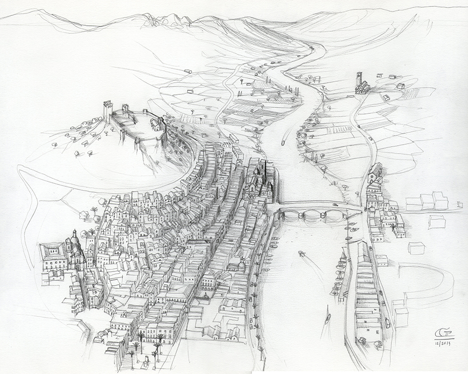
The first phase of each work consists of a fast sketch in order to check and agree the disposition of all elements with the publisher.
-
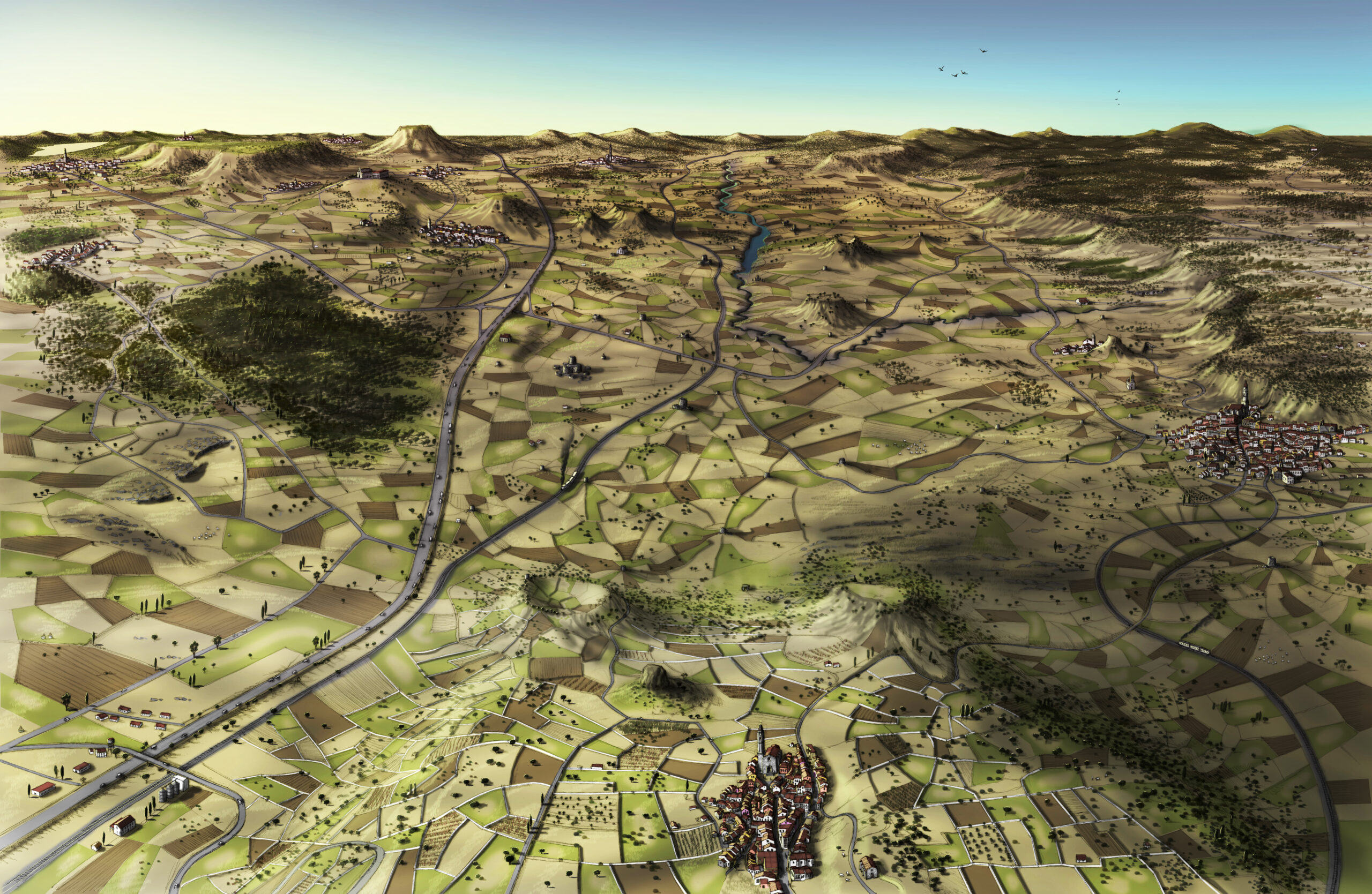
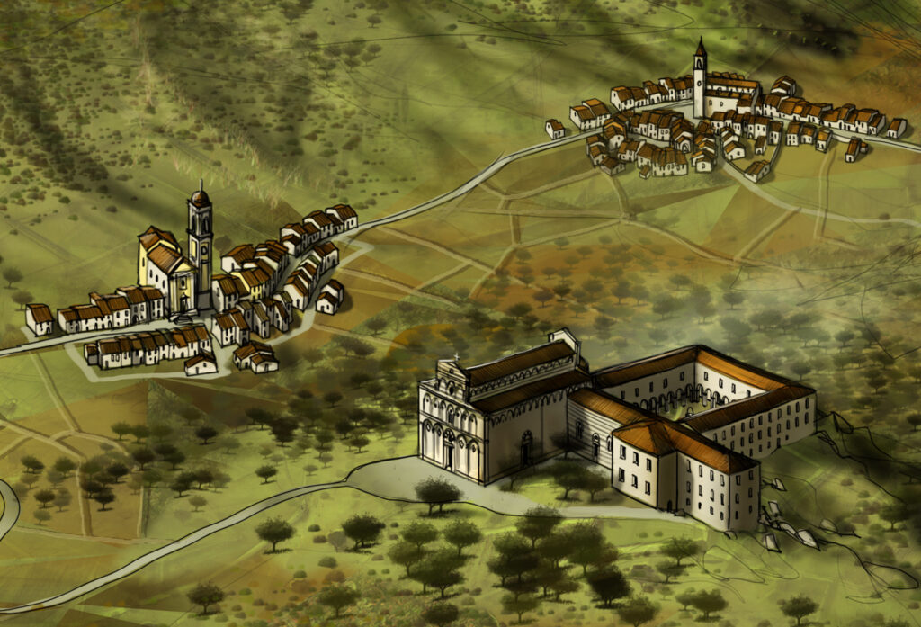
Valle dei Nuraghi, Sardinia, Italy
Illustration for Carlo Delfino Editore of the valley named after the megalithic monuments ‘Nuraghi’, in the center of Sardinia. The Valley is renowned as well for the romanesque abbeys and for the neolithic hypogeic graves, carved in the stone more than 5000 years ago.

